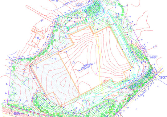


GIS Services
A Goegraphical Information Sysytem is a system designed to capture, store, manipulate, analyze, manage, and present all types of geographically referenced data. GIS digitally creates and “manipulates” spatial areas that may be purpose or application-oriented, for which a specific GIS is developed. Hence, a GIS developed for an application, jurisdiction, enterprise or purpose may not be necessarily interoperable or compatible with a GIS that has been developed for some other application, jurisdiction, enterprise, or purpose. Design Presentation provides following GIS services:
• Remote Sensing
• Image processing